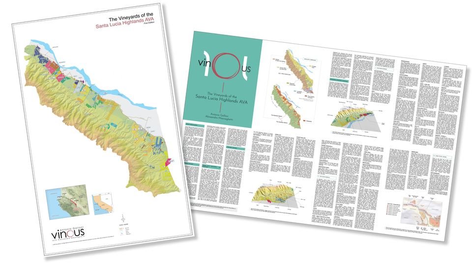
The Vineyards of the Santa Lucia Highlands AVA - VINOUS Map First Edition - Flat 34x22

$45.00

The Santa Lucia Highlands encompasses less than 6,000 acres of vineyards in a strip approximately 18 miles long in the Santa Lucia Mountain range, in Monterey County, about two hours south of San Francisco. This rugged stretch of land consists of a series of alluvial fans in the Salinas Valley that rise into hillsides, elevated plateaus and terraces, all created by land that was broken off from the North American plate and moved north by the force of the San Andreas Fault somewhere in the range of 60-250 million years ago.

Explore the vineyards of the Santa Lucia Highlands with the groundbreaking new Vinous map of the Santa Lucia Highlands Appellation. The Vinous Map of the Vineyards of the Santa Lucia Highlands marks an historic moment for the region. Authored by Antonio Galloni and illustrated by Alessandro Masnaghetti, the world’s leading vineyard cartographer, the new Vinous Map depicts each vineyard in stunning, unprecedented detail. Accompanying text provides rich context that brings the region’s sites to life.

Premium quality, flat 34 x 22 rolled for shipping. Suitable for framing.

Quantity:
Add To Cart

The back of each map provides an overview of the region, with a brief history and discussion of geology. Each of the major vineyard sites are discussed, while 3D maps help illuminate the sites.